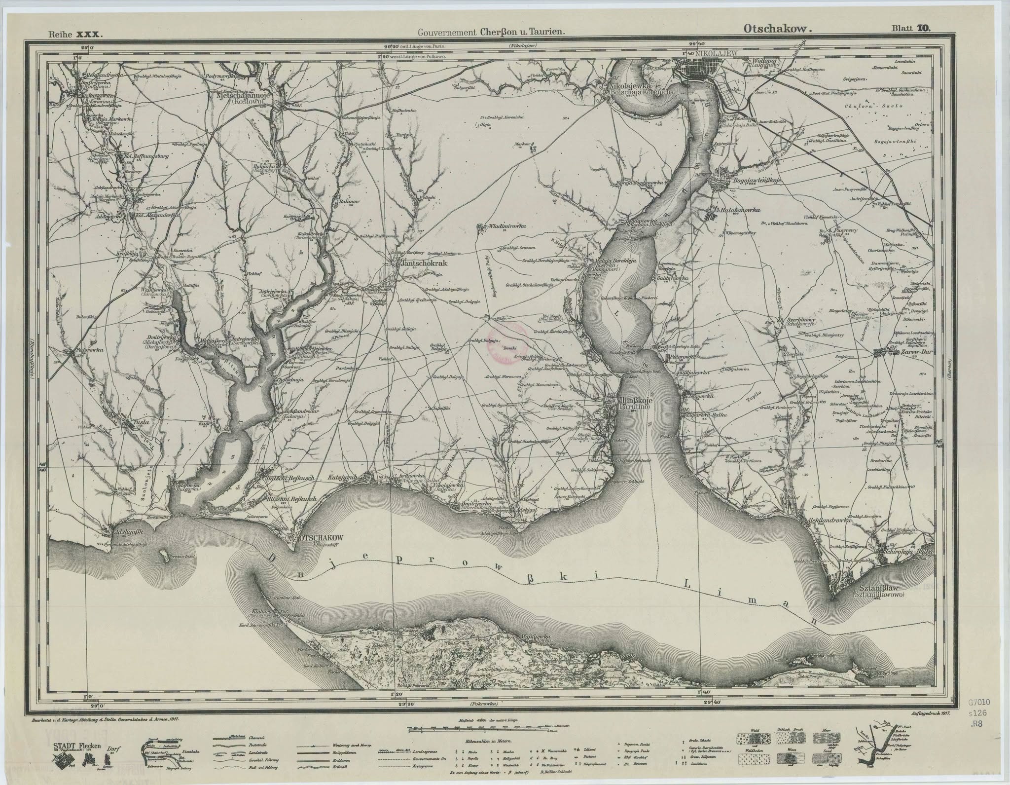
The modern village of Lymany on the shore of the Bug estuary conceals the history of three settlements. On old maps, instead of the current name you can find Kislyakivka, Yukhymivka and Sviato-Troitske. They were merged into a single village only in 1956, and the joint name was given because the settlements were located above the estuary. The local-history piece provided to the editorial office discusses the Cossack past of these lands, ancient routes, lighthouses, destroyed shrines and village life under Russian shelling. The modern village arose in 1956 as a result of the merger of Yukhymivka, Kislyakivka and Sviato-Troitske. Old burials with characteristic stone crosses were preserved in the local cemetery. Reports Ira Ivkova in a post on FB
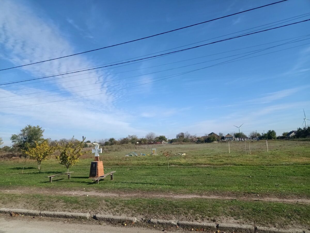
From Cossack wintering places to Kislyakivka
The history of this area began long before the appearance of the modern village. During the times of the Zaporizhian Sich the coast belonged to the lands of the Buhogardivska palanka, which covered a significant part of the steppes between the Southern Bug and the Inhul.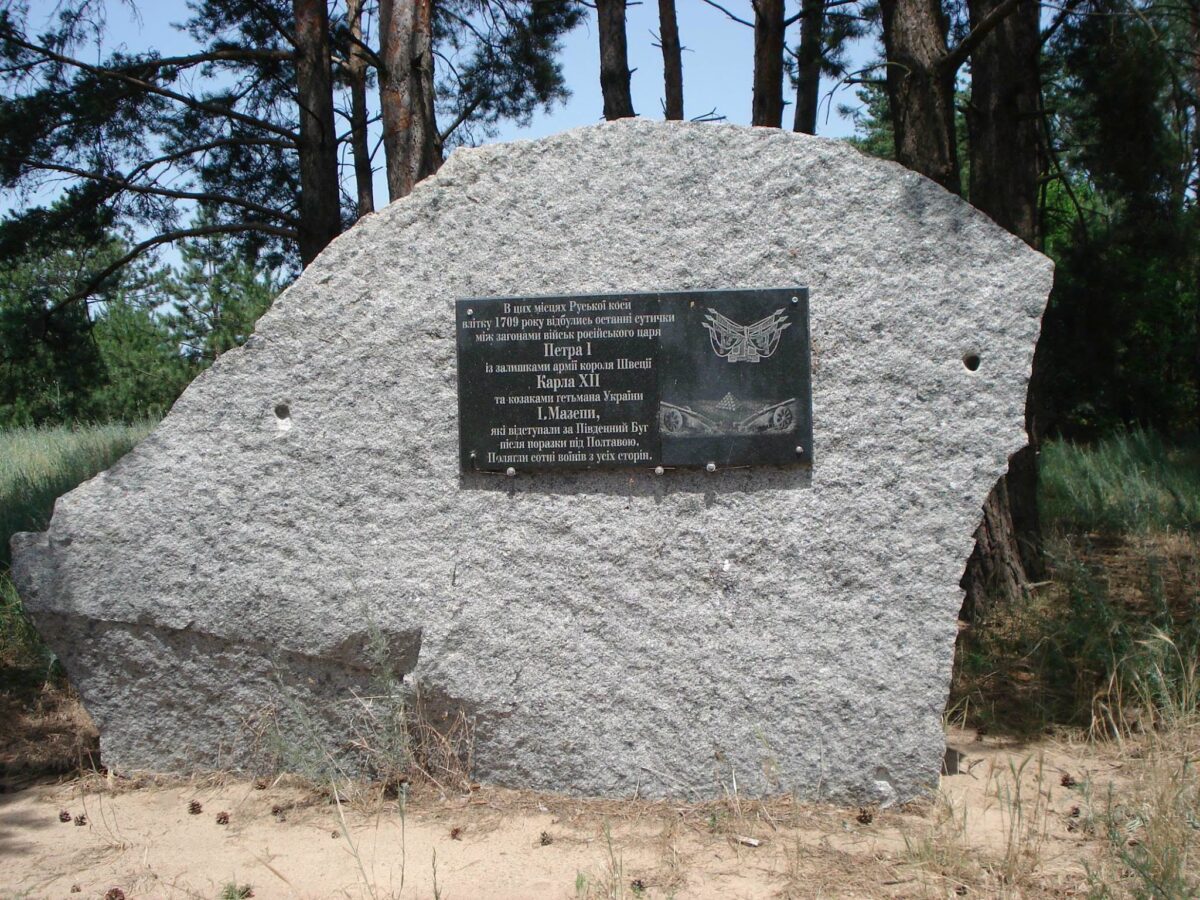
Already during the existence of the New Zaporizhian Sich in 1734–1775 there were Cossack wintering sites and settlements in these places. The emergence of the future Kislyakivka is associated with them. The Cossacks engaged in livestock breeding, fishing and trade. The Bug estuary was rich in fish, including sturgeon, and the steppe farms kept cattle and produced dairy products. A folk version of the origin of the name Kislyakivka also appears, linking it to kysliak — a fermented milk product made by local residents. However, this is only a local historical theory of the name’s origin.
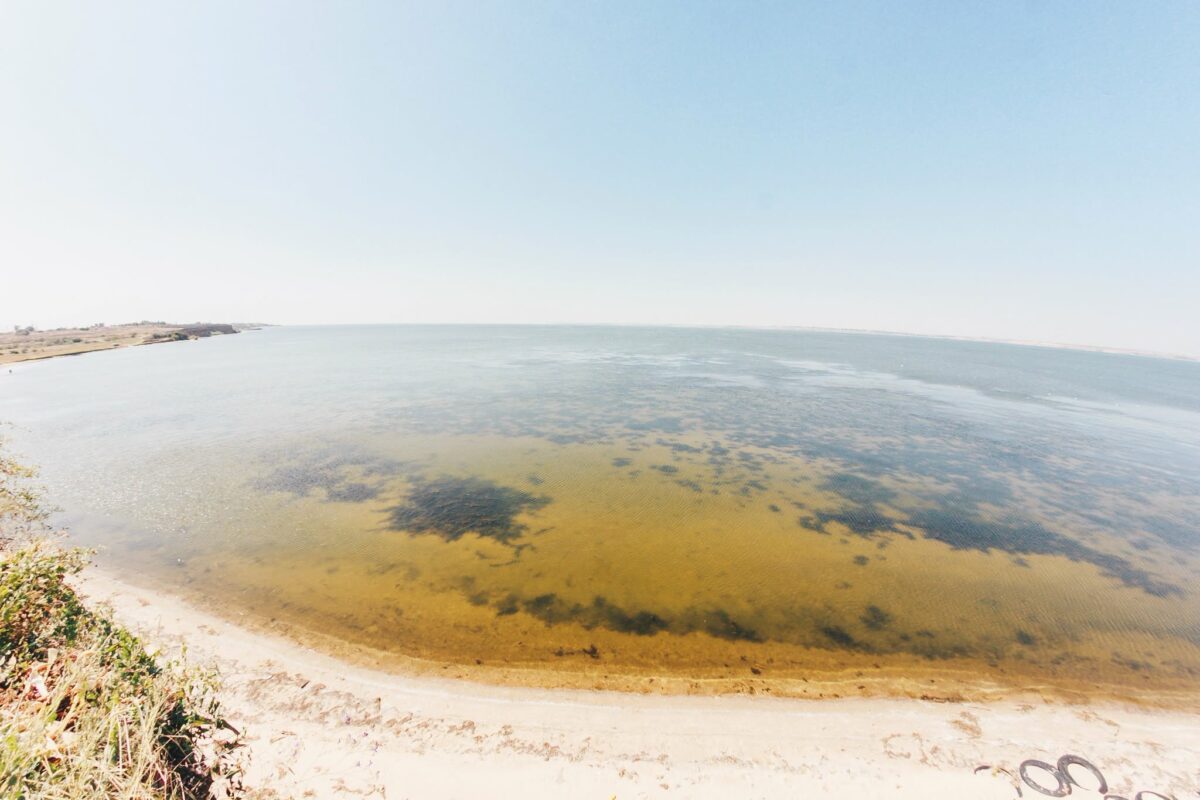
Trade played a significant role in the development of the settlements. An old Chumak route passed through Kislyakivka, carrying salt from the Black Sea and Kinburn saltworks inland across Ukraine. Korabelov.info wrote about the existence of this route back in 2016. Fish and saltworks, a lighthouse, postal stations and coaching inns were located near the settlement. Chumak caravans moved along the shore of the Bug estuary, stopped near wintering sites, replenished water supplies, repaired wagons and exchanged goods. Local residents traded fish, cheese and other products in return for salt and household necessities.
At the end of the 18th century, after the destruction of the Zaporizhian Sich by the Russian Empire, the lands began to be parceled out and transferred to new owners. The local-history material notes that Kislyakivka was associated with a second-major Kislyakov, who was given part of the lands, and the neighboring area with collegiate assessor Yefimov. According to this version, the name Yefimivka, which Ukrainian sources also call Yukhymivka, comes from his surname. Thus former Cossack settlements gradually entered the imperial system of land ownership and serfdom relations.
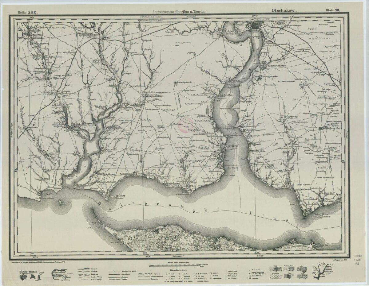
A separate chapter of history is the former village of Sviato-Troitske, located near the Ruska Spit. Events after the Battle of Poltava in 1709 are associated with this area. According to local-history sources, hetman Ivan Mazepa and the Swedish king Charles XII, after their defeat by the Moscow army, moved south and crossed the estuary toward the Ottoman territories. We previously wrote that near Sviato-Troitske on 6–8 July 1709 events associated with the retreat of the Swedish army and the Cossacks of Ivan Mazepa took place, and the crossing was carried out in the area of the Ruska Spit.
Local legends also preserve a story about a large burial of fallen Cossacks and Swedish soldiers. The provided material claims that during Soviet times the burial mound was leveled and the area was later built over. Local activists have installed commemorative signs in memory of the historic crossing.
Why Fedorivka appeared on old maps and how the name Ruske arose
Local historians also point to another mystery. On some old military maps the territory of Sviato-Troitske was labeled Fedorivka. The material explains this by a possible renaming of the settlement in honor of one of the landlords. At the same time the old name — Troitske — continued to exist in local memory.
However, the history of the Lymany in Mykolaiv region turned out to be more complicated than just the merger of three villages in 1956. After the account of Kislyakivka, Yefimivka and Sviato-Troitske, readers drew attention to another old local name — Ruske. It is well remembered by elders, and the Ruska Spit remains an official geographical name today. New recollections open another page of the coast’s history — from the Cossack crossing and fishing settlements to an ancient salt route. The previous local-history material about the three historical parts of modern Lymany also mentioned the Ruska Spit as an important site of Cossack history.
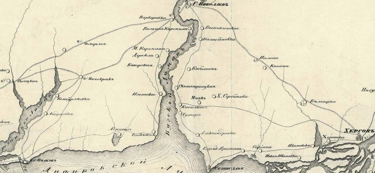
Locals still say “go to the Ruska”. Elders remember ruins of old buildings left in front of the village, and wild currant bushes growing in neat rows nearby. According to the local-history version, there may have been a separate fishing hamlet called Ruske here, which was also mentioned in documents as a State hamlet. The Ruska Spit itself has a much older history. It is shown on maps even before the founding of Mykolaiv and was an important crossing over the Bug estuary. This place is associated with the retreat after the Battle of Poltava. In July 1709 hetman Ivan Mazepa, the Swedish king Charles XII, Cossacks and the remnants of the Swedish army moved south, escaping Moscow’s pursuit. Historians link part of the crossing over the estuary with the area of the Ruska Spit.
Another important chapter of the history of these lands is the Zaporizhian Sich. The territory of modern Lymany belonged to the Buhogardivska palanka, and among the 38 kurens (military-administrative units) of the Zaporizhian Host there was the Kislyakivskyi kurin. A kurin and a palanka were different systems: a kurin united Cossacks as a military community, while a palanka was a territorial administrative unit that managed settlements, wintering places and industries.
On the opposite bank operated the Prohnoivska palanka, connected with the salt and fishing industries of Kinburn. It was from there that salt came, which was one of the most valuable commodities of the time. A large Chumak route passed through Kislyakivka. Along it the “white gold” was carried further through coastal settlements into the interior regions of Ukraine. But an interesting puzzle remains: exactly how did the salt from Kinburn get to this shore of the estuary?
According to one version, the Chumaks carried it by land around the estuary. According to another, the salt was first transported by Cossack boats (baidaky) to the area of Stanislav, where it was then transshipped onto heavy Chumak wagons (mazhi). From there the route went through Lupareve, Kislyakivka and other settlements. Direct documentary confirmation of this entire route is still insufficient, so the question remains open for local historians. The Ruska Spit later became important for navigation. Navigational structures appeared here, and the Rusky Rear lighthouse for decades helped vessels navigate the fairway of the Bug estuary.
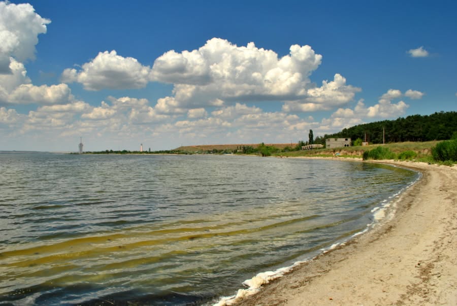
Thus the history of modern Lymany gradually assembles from separate fragments: Cossack settlements, old hamlets, Mazepa’s crossing, Chumak routes and names that long disappeared from official maps but still live in the memory of local residents.
Lighthouses that showed ships the safe way
Another important page of the coast’s history is connected with navigation. After the development of Mykolaiv as a major port city, there was a need to guide vessels through the complex fairway of the Bug–Dnipro estuary channel. For this purpose lighthouses were used. The local system’s peculiarity is that a pair is formed by the Luparivskyi Front and the Kislyakivskyi Rear lighthouses. By the way, the Luparivskyi Front lighthouse turned 120 years old: it was erected in 1906.
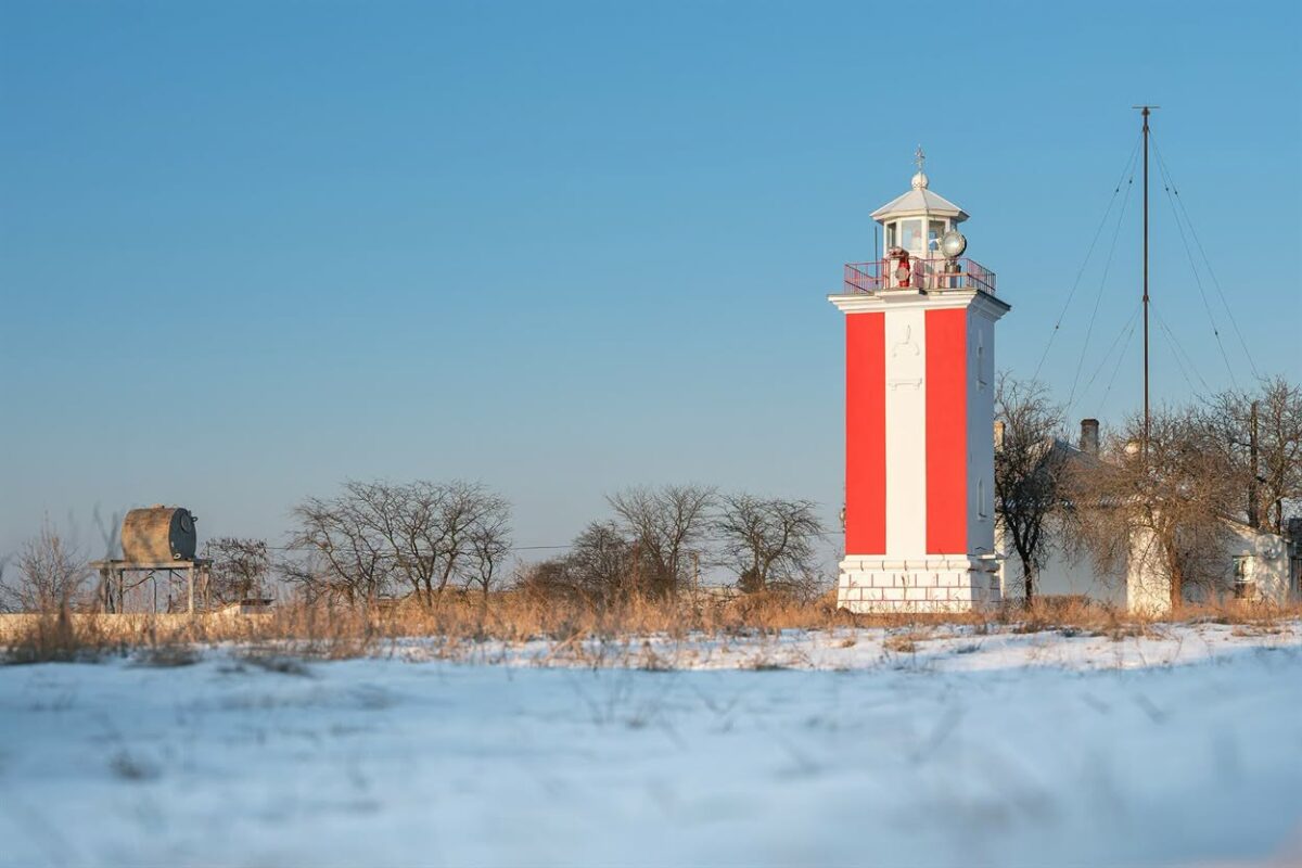
The principle of the range is simple: the captain must see two lights on one vertical line. If they visually align, the vessel is on the correct course and travels the safe fairway. In the provided local-history material the history of the Kislyakivka lighthouse is traced back to 1857, when a wooden structure supposedly appeared here on the foundation of a former optical telegraph. The current stone tower is dated to 1956. In 2019, according to the material, the lighthouse underwent major repairs and was painted in red-and-white stripes. Today the Rusky Rear lighthouse is associated with this place. Ukrposhta even included it in the “Lighthouses of Ukraine” series, indicating 1863 as the year of the appearance of a navigational object on the Ruska Spit near Lymany.
Three settlements that became one
The three settlements differed noticeably from each other. Kislyakivka was the largest and served as an administrative and trading center. It became the center of the Kislyakivka volost of Kherson uyezd. The volost administration worked here, markets were held, craftsmen and merchants lived here. Yukhymivka had a more pronounced landlord character, and much of the population’s life was connected with fishing. Sviato-Troitske retained its own historical tradition related to the crossing, the Cossack past and the estuary.
The history of this territory is much older than the Cossack era. The local-history material notes that fragments of ancient pottery, old coins and other finds associated with the influence of Olbia and the ancient settlement of the Lower Southern Bug region were found on the banks of the estuary. The neighborhood of these lands with Olbia has long attracted the attention of local historians. In particular, in Lupareve there were even attempts to revive pottery production in the Olbian style.
One of the main buildings of old Kislyakivka was the Church of the Nativity of the Blessed Virgin. According to local traditions, the community at its own expense built a large stone church to replace the old shrine. A tall bell tower could be seen far from the estuary, and its cross was used by fishermen and sailors as a landmark. A school operated at the church; children were baptized there, newlyweds were married and locals were laid to rest. In the 1930s, during the Soviet anti-religious campaign, the church was closed. The bells were removed, and the building was used for хозяйські needs and gradually fell into ruin.
After the revolutions, the civil war and the establishment of Soviet power, local peasants were subject to collectivization and dekulakization. Wealthier farms were liquidated, property was confiscated, and some families were deported. In 1956 the final administrative merger of the three settlements took place. Kislyakivka, Yukhymivka and Sviato-Troitske became a single village — Lymany. Gradually the old names disappeared from official documents, although some parts of the village were still referred to by their old names among locals for a long time.
From a resort shore to the front line
In the 1970s–1980s the estuarine coast was actively used for recreation. There were holiday bases and a children’s camp associated with the Mykolaiv “Okean” factory. After the collapse of the USSR much of this infrastructure fell into disrepair. A separate problem for surrounding settlements was the proximity of the Mykolaiv alumina plant and its sludge reservoirs. Local environmental problems are linked to red sludge dust and industrial development of the territories.
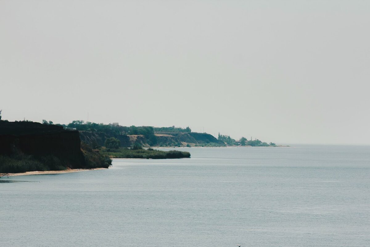
After the beginning of the full-scale Russian invasion in 2022 the village of Lymany and neighboring Lupareve effectively found themselves on the line of fire and became some of the most shelled settlements near Mykolaiv. For about 9 months the villages were under constant Russian strikes. Before the full-scale war, around 3,500 people lived in the two settlements, but during the most intense shelling only about 202 residents remained in Lymany, and 37 in Lupareve.
Russian forces struck residential areas, a school, a kindergarten, administrative buildings and infrastructure. In July 2022 Korabelov.info reported that after a Russian shelling in Lymany the kindergarten and the administration building were damaged, and the community’s fire truck was destroyed. Shelling even affected cemeteries and old burials. In neighboring Lupareve Russian shells damaged, among other things, old Cossack crosses.
The village continues to live under the threat of drones
Even after the front line was pushed back the danger for Lymany did not disappear. In 2024 one of the Russian strikes caused damage to the village environment that ecologists estimated at UAH 73.5 million. About 43 cubic meters of construction debris were generated then and roughly 2,300 square meters of land were contaminated.
In 2025 an enemy drone damaged power networks, leaving Lymany and Lupareve without electricity. The village is gradually repairing destroyed objects. In particular, UAH 1.4 million was allocated to restore the damaged village council building. Part of the administrative premises was destroyed by a Russian strike as early as April 2022.
Despite past wars, imperial renamings, Soviet collectivization and contemporary Russian shelling, Lymany preserve the memory of the three settlements from which the modern village arose. The histories of Kislyakivka, Yukhymivka and Sviato-Troitske still live on in old maps, cemeteries, lighthouses, family tales and residents’ memories.
Earlier we wrote:
- Kim promises anti-drone nets in the Halytsynivka community
- 14 enemy FPV drone attacks in a day in Mykolaiv region: Dmytrivka and Lymany hit again
- Day and night: Lymany, Lupareve and other villages — under Russian attacks
- The elder’s office in Lymany “in pieces” — now for 1.4 million it will be like new again
- Enemy struck with a drone: Lymany and Lupareve left without power