Accidents
Russian forces occupied Sviatopetrivka in Zaporizhzhia — DeepState
The updated map also shows the enemy's advance near Staroukrainka
Цей матеріал також доступний:


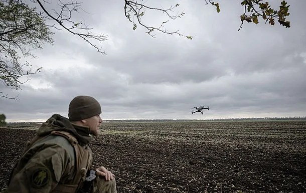
On the updated map of the OSINT project DeepState, the village of Svyatopetrivka in Zaporizhzhia Oblast is marked as territory occupied by Russian forces. The update reflects the project’s assessment of the situation as of 2 October.
In DeepState the changes in this sector of the front were described as:
“The enemy occupied Svyatopetrivka and advanced near Staroukrainka.”
According to the updated map data, the area that the project defines as a zone of stable control by Russian forces increased by 8.15 sq. km: from 47,356.46 to 47,364.61 sq. km.
At the same time, the area of the gray zone in both sectors decreased:
- In the area of Svyatopetrivka — from 158.29 to 152.11 sq. km, that is, by 6.18 sq. km.
- Near Staroukrainka — from 41 to 39.03 sq. km, that is, by 1.97 sq. km.
These changes are based on the OSINT project’s data and represent its assessment of the situation on the front.
Earlier we wrote:
- From Kupiansk to Zaporizhzhia: Ukrainian Armed Forces advanced on several directions at once — ISW
- Small groups of Russian infantry may try to infiltrate Zaporizhzhia in winter — Filatov
- Despite the announced ceasefire, DeepState records advances of Russian forces in Donetsk region
- Russian forces advanced on three directions within 24 hours, DeepState reports
- Occupying forces advanced in Donetsk, according to DeepState